
Categories
Anchorage AKPublished September 28, 2026
Where is Anchorage, AK? Location, Commutes, and Regional Geography

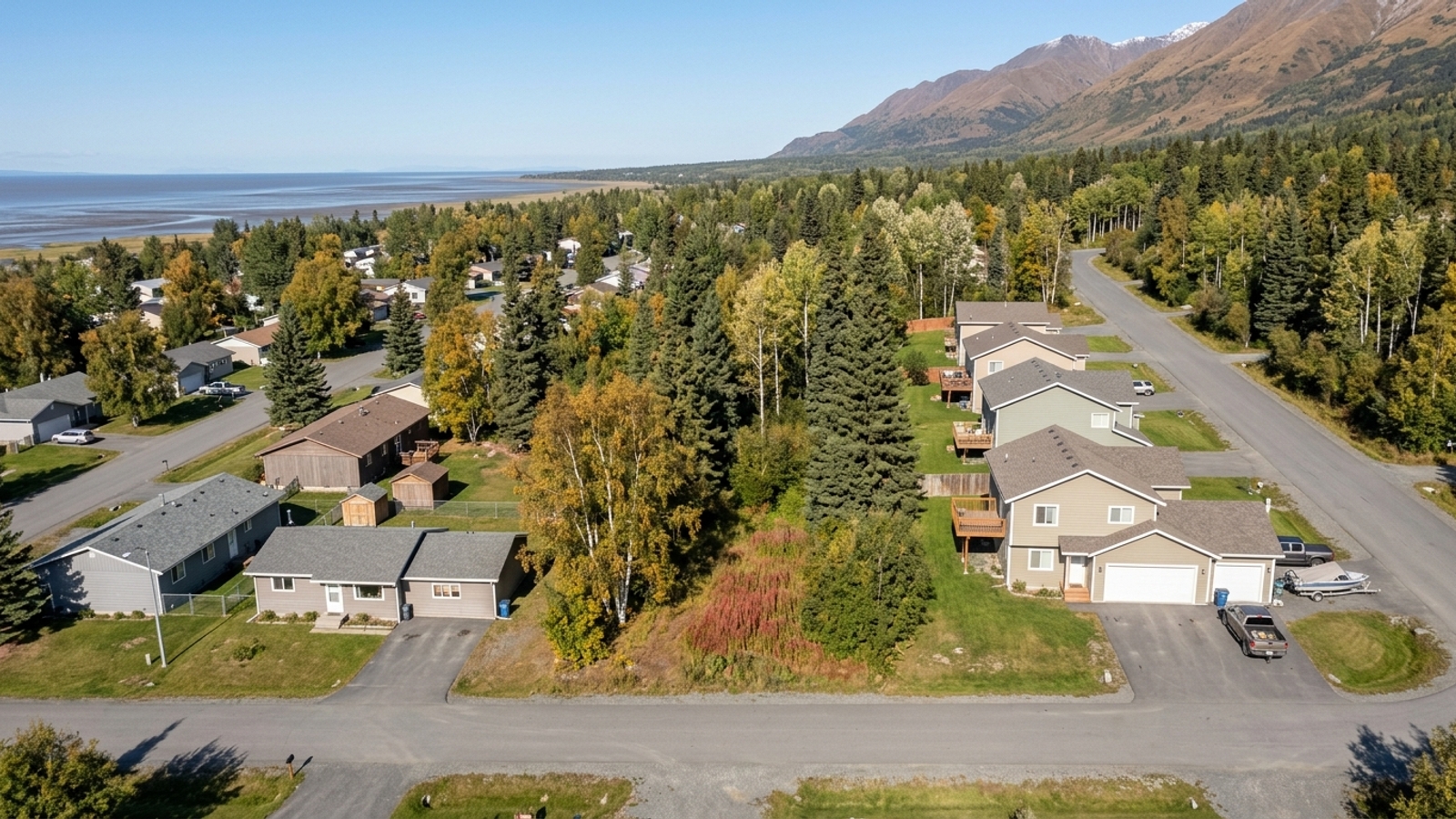
Anchorage sits in Southcentral Alaska - the state's primary economic and population center, and the market most out-of-state buyers underestimate until they start looking at a map of Anchorage, AK zip codes. The median sale price here is running around $465,000, and homes are spending roughly 9 days on the market before going under contract. That's a fast clock.
Before you fall in love with a listing, it's worth understanding how this city is laid out - because where you land on the map determines your commute to downtown, to midtown, or to Joint Base Elmendorf-Richardson (JBER). Geography drives a lot of decisions here.
Geography of the Anchorage Municipality
The Municipality of Anchorage doesn't work like most places in the lower 48. There's no separate county government - the city and the borough are one unified entity, which simplifies property taxes and zoning considerably for homeowners across the region.
The geographical footprint is substantial. It stretches from coastal waters up into the surrounding mountain ranges, which means the municipality contains dense urban grids, suburban neighborhoods, and vast tracts of undeveloped wilderness all at once. Buyers can choose between a downtown condo and something genuinely secluded in the nearby hills - both fall within the same municipal boundary.
Southcentral Alaska Placement
Anchorage is well south of the Arctic Circle, which matters more than people expect. The region runs milder than Alaska's deep interior, and that central position makes it the main hub for state commerce and transportation.
Bordering Boroughs and Waterways
To the north, Anchorage shares a border with the Matanuska-Susitna Borough. The Kenai Peninsula Borough sits to the south. Cook Inlet forms the western boundary, providing ocean access and coastal views along that entire edge.
These surrounding borders aren't just geography - they dictate where new housing can expand and where commuters are traveling from every morning.
Highways and Transportation Options
Two major highway systems connect Anchorage to the rest of the state. Most residents drive - that's just the reality of getting around the municipality and into neighboring boroughs. These roads carry both daily commuters and freight, and your proximity to one of them will likely shape your morning routine.
The Glenn and Seward Highways
The Glenn Highway, designated as AK-1, runs north out of the city toward the Matanuska-Susitna Borough and serves as the primary route for commuters coming in from the northern suburbs. The Seward Highway heads south and connects Anchorage to the Kenai Peninsula Borough. Both see heavy traffic during the standard morning and evening windows.
Ted Stevens Anchorage International Airport
Ted Stevens Anchorage International Airport sits approximately 5 miles southwest of downtown Anchorage. It's a major global cargo hub and a significant local employer, so it's worth knowing where it is relative to any home you're considering. Neighborhoods in the southwest part of the city have the shortest drive to the terminals.
Commuting Around the Anchorage Area
Around 1,168 homes have sold recently across the Anchorage market, and for a lot of those buyers, the neighborhood decision came down to one thing: the morning drive. The main destinations are downtown, midtown, and JBER. Traffic follows standard business hours, though winter weather conditions occasionally slow things down in ways that are hard to appreciate until you've driven it.
Test your expected route during rush hour before you make an offer. That's not a throwaway suggestion.
Driving from Outlying Suburbs
Workers commute into Anchorage from Eagle River and the Mat-Su Valley - including Wasilla - every day, funneling south on the Glenn Highway toward JBER and the city center. Anchorage is the primary economic hub for Southcentral Alaska, so the inbound morning lanes carry a lot of volume. If you're coming from the north, you'll get very familiar with that stretch of AK-1.
Public Transit on the People Mover
The People Mover operates 15 bus routes across the municipality, connecting major residential zones to retail centers and downtown employment hubs. If you'd rather not drive, it's a legitimate option - particularly if you're in a higher-density neighborhood. Pull up the People Mover map and check the routes near any home you're seriously considering before you commit.
How Local Geography Shapes the Housing Market
Anchorage is hemmed in. The Chugach Mountains rise along the eastern edge, Cook Inlet closes off the west, and that "bowl" effect limits how far the city can sprawl outward. With only 1.6 months of housing supply currently available, that lack of buildable land keeps the market tight. Builders are working within a defined envelope, and that's not changing.
The Chugach Mountains and Topography
The Chugach Mountains form a massive natural wall along the eastern edge of the municipality - steep enough that residential construction simply can't push further into the wilderness beyond. Hillside properties tend to have larger lots and distinct architectural styles that account for the terrain. If you're looking at homes in those foothills, plan for winding roads and specific seismic building considerations. Both are real factors, not minor footnotes.
Building Near Cook Inlet
On the western side, Cook Inlet stops any expansion of the city limits cold. The coastal environment shapes how homes are developed and maintained along the water, and properties with inlet views regularly command a premium. Between the water and the mountains, Anchorage has one direction left to grow: denser.
Frequently Asked Questions
What borough is Anchorage in?
Anchorage isn't located inside a separate county or borough. It operates as a unified municipality - the city and the borough are the exact same government entity.
How far is Anchorage from Wasilla?
Wasilla is north of Anchorage in the Matanuska-Susitna Borough. Commuters travel between the two areas via the Glenn Highway, which serves as the primary route into the city.
What areas border Anchorage?
The Matanuska-Susitna Borough borders Anchorage to the north, the Kenai Peninsula Borough sits to the south, and the western edge of the municipality runs along Cook Inlet.
Is Eagle River considered part of Anchorage, AK or its own separate city?
Eagle River is part of the unified Municipality of Anchorage. It feels like a distinct suburban community, and in many ways it functions like one - but it falls under the same local government and municipal boundaries as the rest of the city.
Which Anchorage neighborhoods offer the best highway access for commuting to JBER?
Neighborhoods in northern Anchorage and Eagle River give you direct access to the Glenn Highway, which is the main artery leading straight into Joint Base Elmendorf-Richardson (JBER).
How much does winter weather typically delay daily commute times across Anchorage?
Winter weather routinely slows traffic on both the Glenn and Seward Highways. During the months when snow and ice are on the roads, commuters to downtown or JBER should plan to leave earlier - there's no precise formula, but assuming you have extra time is the right assumption.
or another way